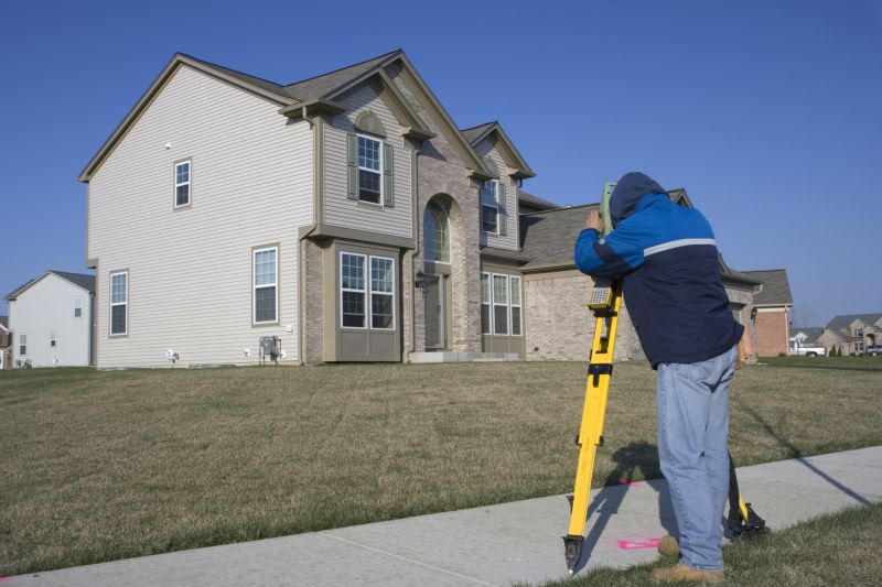
Get Lot Surveying in Dallas, TX
Lot surveying services for property owners in Dallas, TX, and nearby areas address boundary disputes, land development, subdivision projects, and property line clarifications.
Lot surveying services are essential for property owners in Dallas, TX looking to establish precise boundaries and ensure legal clarity for their land. Accurate surveys help prevent future disputes, facilitate smooth property transactions, and support development or renovation projects. By working with experienced surveyors, property owners can gain confidence in the accuracy of their property lines, which is fundamental for planning additions, fencing, or landscaping that aligns perfectly with existing boundaries.
Beyond legal and planning benefits, lot surveying enhances the overall functionality and durability of a property. Properly defined boundaries contribute to better land management, reduced maintenance costs, and improved curb appeal. Clear property lines also help owners optimize land use, making outdoor spaces safer and more enjoyable. Engaging professional surveyors ensures these practical advantages are achieved with precision and reliability, providing peace of mind for property owners in Dallas, TX.
- Residential Lot Surveys - needed when property owners in Dallas, TX, or nearby areas require boundary verification before purchasing or developing land.
- Commercial Property Surveys - essential for businesses planning new construction or renovations on commercial parcels in urban or suburban locations.
- Subdivision Lot Surveys - used when dividing larger parcels into smaller lots for residential or commercial development projects.
- Boundary Line Surveys - necessary to resolve property line disputes or confirm boundaries prior to fencing or land improvements.
- Topographic Surveys - required for site planning and design when preparing land for construction or landscaping projects.
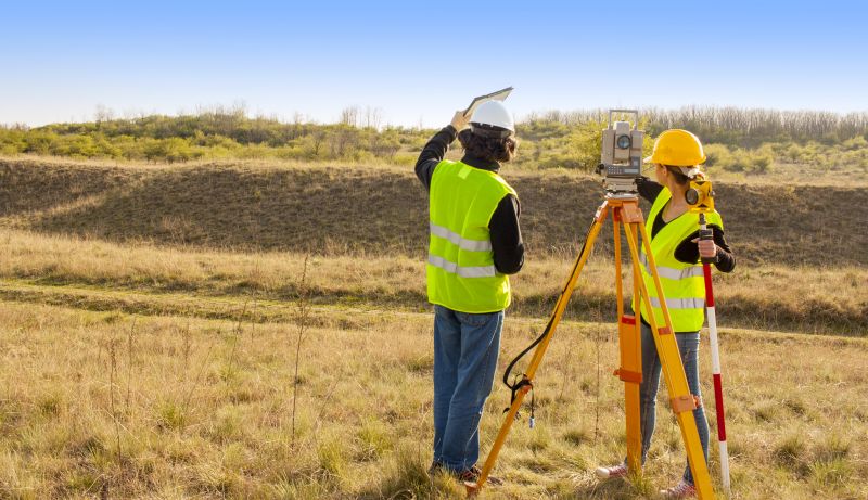

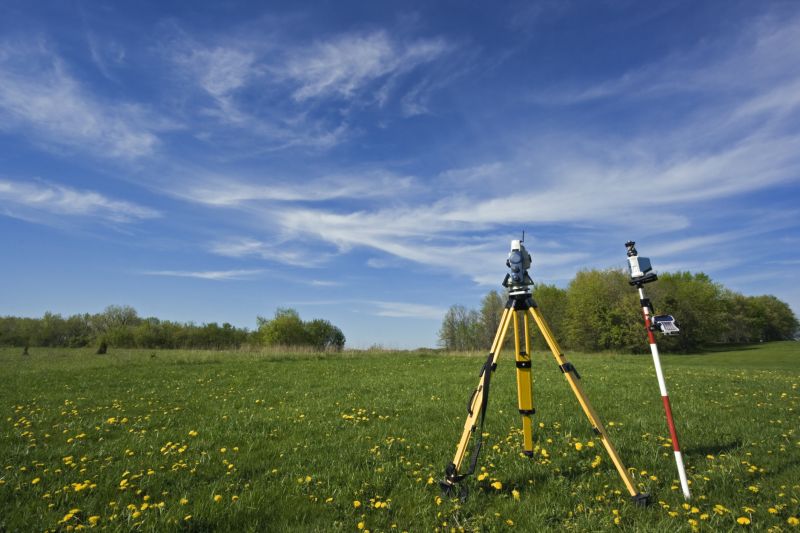
Lot surveying services involve the precise measurement and mapping of land parcels to establish property boundaries, topography, and other relevant features. These surveys typically include delineating property lines, identifying existing structures, and preparing detailed maps or plats. The process often utilizes specialized tools and techniques to ensure accuracy, which is essential for legal documentation, development planning, and property transactions. Accurate lot surveys help property owners and developers understand the exact limits of a parcel, reducing the risk of boundary disputes and ensuring compliance with local regulations.
One common problem that lot surveying services help address is boundary disputes or ambiguities. When property lines are unclear or have not been formally established, disagreements can arise between neighbors or with local authorities. Conducting a thorough survey clarifies the legal boundaries, providing a definitive reference that can prevent or resolve conflicts. Additionally, lot surveys are valuable during the process of buying or selling property, as they confirm the size and shape of the parcel, ensuring that all parties have accurate information before completing transactions or making improvements.
Various types of properties utilize lot surveying services, including residential subdivisions, commercial developments, agricultural land, and vacant lots. Residential properties often require surveys before constructing fences, additions, or new structures, ensuring that improvements stay within legal boundaries. Commercial and industrial properties may need detailed surveys for planning large-scale developments or infrastructure projects. Agricultural landowners use lot surveys to delineate fields, plan for land use, or prepare for sale or transfer of ownership, making the service applicable across a wide range of property types.
The scope of lot surveying services can extend to properties of different sizes and complexities. Small residential lots in urban or suburban environments often require boundary verification and topographical mapping. Larger parcels, such as rural farms or commercial plots, may need more comprehensive surveys that include detailed topographic data and features like easements or existing infrastructure. Regardless of property size, these services provide essential information that supports legal, developmental, and planning needs, helping property owners and developers move forward with confidence.
The overview below groups typical Lot Surveying projects into broad ranges so you can see how smaller, mid-sized, and larger jobs often compare in Dallas, TX.
In many markets, a large share of routine jobs stays in the lower and middle ranges, while only a smaller percentage of projects moves into the highest bands when the work is more complex or site conditions are harder than average.
Survey Costs - The cost for lot surveying services typically ranges from $300 to $1,500 depending on the property's size and complexity. Smaller residential surveys tend to be on the lower end, while larger or more detailed surveys can cost more. Local pros can provide specific estimates based on individual project needs.
Pricing Factors - The overall price may vary based on lot size, terrain, and accessibility, with typical charges between $400 and $2,000. Difficult terrain or extensive boundary marking can increase costs. Contact local service providers for precise quotes tailored to specific properties.
Service Scope - Basic boundary surveys generally cost between $350 and $1,200, while more comprehensive topographic surveys can range from $1,000 to $3,000. The scope of work influences the final price, so discussing project details with local pros is recommended. Costs are approximate and can vary by location.
Additional Expenses - Extra services such as staking, marking, or detailed mapping may add $200 to $800 to the total cost. These additional features depend on project requirements and site conditions. Local professionals can clarify what services are included and provide accurate pricing estimates.
Actual totals will depend on details like access to the work area, the scope of the project, and the materials selected, so use these as general starting points rather than exact figures.
Boundary and Acreage Surveys - These services help determine property lines and land boundaries, ensuring accurate parcel descriptions for landowners and developers.
Topographic Surveys - Topographic surveys provide detailed elevation and land feature data, supporting site planning and construction projects.
Construction Staking - Construction staking services mark the precise locations for building foundations and infrastructure, aiding in project accuracy.
ALTA/NSPS Land Title Surveys - These surveys are used for commercial property transactions, providing comprehensive boundary and easement information.
Subdivision Surveys - Subdivision surveys facilitate dividing larger parcels into smaller lots, supporting development and property sales.
Floodplain and Elevation Surveys - These surveys assess land elevation and flood risk areas, assisting in compliance and planning for construction projects.
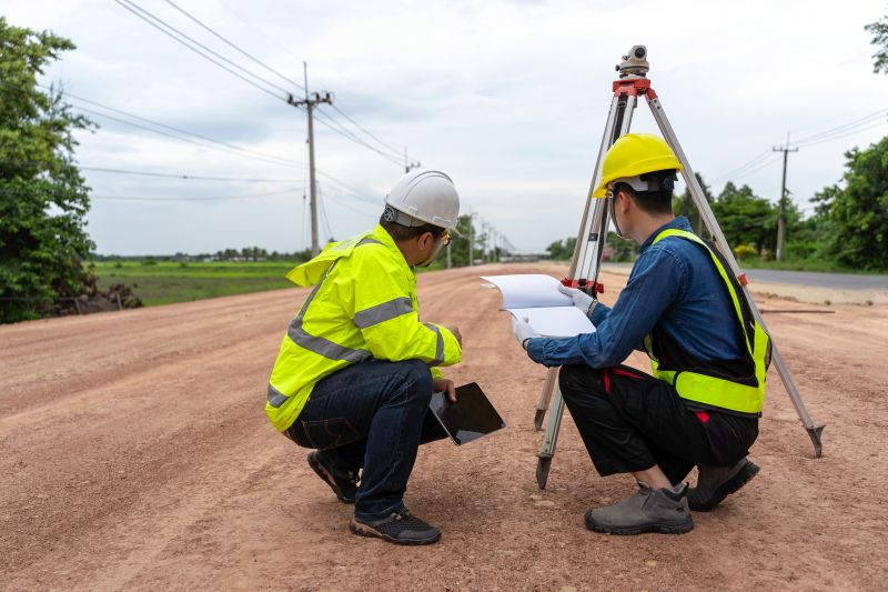
When selecting a professional for lot surveying services, it is important to consider the experience and background of local providers. Homeowners should look for surveyors who have a history of completing projects similar in scope and complexity, ensuring they possess the necessary knowledge of local zoning laws, property boundaries, and terrain considerations specific to areas like Dallas, TX. Verifying the reputation of surveyors through reputable references or prior client feedback can provide insights into their reliability and quality of work, helping to make an informed decision.
Clear and written expectations are essential when working with a lot surveying professional. Homeowners should seek providers who offer detailed service descriptions, scope of work, and deliverables in writing. This documentation helps establish a mutual understanding of the project requirements, timelines, and responsibilities, reducing the potential for misunderstandings. A professional who communicates openly and provides comprehensive information can contribute to a smoother survey process.
Reputation and communication are key factors when comparing local lot surveyors. It is advisable to explore reviews or testimonials from previous clients to gauge the consistency of service quality. Additionally, effective communication-such as prompt responses to inquiries and willingness to clarify project details-can indicate a surveyor’s professionalism and dedication. Homeowners should prioritize providers who demonstrate transparency and responsiveness, ensuring a collaborative and well-informed experience throughout the surveying process.
Property owners in Dallas, TX use Lot Surveying services for practical projects around their homes and businesses. The sections below highlight everyday jobs and straightforward project options.
Lot surveying services are often essential for property owners in Dallas, TX, who are planning new construction, renovations, or land development projects. Accurate land measurements help ensure that building footprints, fences, and property boundaries are correctly established, reducing the risk of disputes with neighbors or city authorities. Property owners might seek surveyors to verify boundary lines before purchasing land or to resolve any existing boundary disagreements, providing clarity and peace of mind during property transactions.
Additionally, lot surveying can support zoning compliance and permit applications, helping property owners meet local regulations. For those looking to subdivide land or make significant modifications to their property, professional surveyors provide precise data that can streamline approval processes. Engaging experienced land surveyors can also assist in planning landscaping, drainage, or other improvements, ensuring that projects are based on reliable property data.
What is a land or lot survey? A land survey is a process that determines property boundaries, dimensions, and features, often used for development or legal purposes.
Why might I need a lot survey? A lot survey can be necessary for property transactions, construction planning, or resolving boundary disputes.
How long does a typical lot survey take? The duration varies based on property size and complexity, but local surveyors can provide an estimated timeline during contact.
What information is included in a lot survey report? A survey report typically includes boundary lines, easements, existing structures, and topographical details.
How do I find local pros for lot surveying services? Contacting experienced land surveyors in the Dallas area can connect you with qualified service providers for your needs.
Boundary and Lot Line Surveys - Professionals can determine property boundaries accurately to prevent disputes and ensure proper land division.
Topographic and Land Surveys - Local pros provide detailed mapping of land features to support planning and development projects.
Subdivision and Land Development Surveys - Experts assist with dividing large parcels into smaller lots, complying with local regulations.
Construction Staking and Site Planning - Surveyors mark out building locations and site features to guide construction and ensure proper placement.
Considering Lot Surveying for a property in Dallas, TX? The sections above highlight common project types, practical options, and details that often shape the scope of work.
When you are ready, use the quote form to share a few details about your project. Local pros can review the basics and respond with options that match what you have in mind.