Get Property Line Surveying in Raleigh, NC
Property line surveying services help property owners in Raleigh, NC, and nearby areas define boundaries, resolve disputes, and ensure accurate lot delineations for various projects.
Property line surveying services provide property owners in Raleigh, NC with precise boundaries that establish clear property limits. Having accurate boundary lines helps prevent disputes with neighbors, ensures proper placement of fences, driveways, and landscaping, and supports compliance with local regulations. This work offers peace of mind by confirming property extents, which is especially valuable when planning new construction, renovations, or adding structures to the property.
Utilizing professional surveying services can enhance the overall functionality and curb appeal of a property. Well-defined boundaries contribute to a more organized and aesthetically pleasing landscape, reduce the risk of encroachments, and help maintain property value over time. Consistent, accurate boundary marking also minimizes future maintenance needs by preventing accidental damage or disputes related to unclear property limits.
- Property boundary identification - needed when establishing property limits for legal or development purposes in Raleigh and surrounding areas.
- Land division and parcel mapping - essential during property subdivision or lot splitting projects in nearby communities.
- Boundary dispute resolution - useful when neighbors or property owners need to clarify or settle property line disagreements.
- Construction planning and site development - required for accurate placement of structures relative to property boundaries in Raleigh and nearby regions.
- Fence installation or removal - necessary to ensure fences are built within legal property lines or to resolve encroachments.


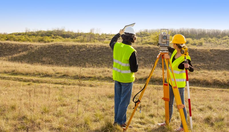
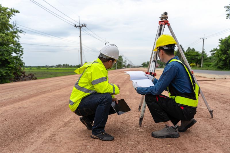
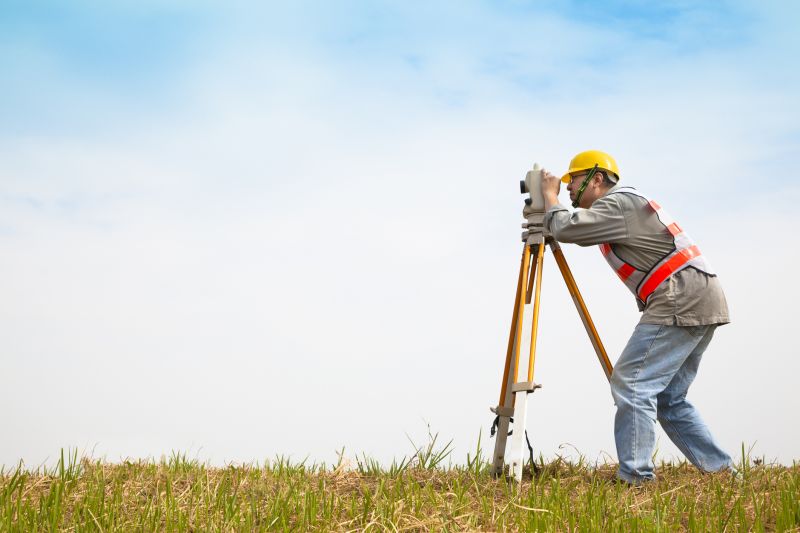
Property line survey services involve the precise measurement and mapping of a property's boundaries. These surveys typically include establishing the legal boundaries of a parcel of land, often using existing property deeds, plats, and legal descriptions as references. Surveyors utilize specialized equipment to measure distances, angles, and elevations, creating detailed boundary maps that clearly define where a property's limits lie. This process helps property owners and stakeholders understand the exact extent of their land, which is essential for planning, development, or dispute resolution.
One of the primary problems property line surveys help address is boundary disputes between neighbors or landowners. Clarifying property lines can prevent conflicts over encroachments, fences, or structures that may have crossed property boundaries. Additionally, these surveys are often required before construction projects, such as building a new fence, garage, or extension, to ensure that new structures are within legal property limits. They also play a crucial role in resolving issues related to land titles, property transfers, or subdivision planning.
Various types of properties utilize property line surveying services, including residential lots, commercial parcels, agricultural land, and vacant plots. Residential properties often require boundary surveys when homeowners plan to erect fences, pools, or additions. Commercial landowners may need detailed boundary maps for development projects, lease agreements, or legal documentation. Agricultural landowners might commission surveys to establish clear boundaries for fencing or land management. In all cases, accurate boundary information supports proper land use and helps avoid future legal complications.
Property line surveys are valuable tools for ensuring clarity and legal certainty regarding land boundaries across different property types. They assist property owners, developers, and legal professionals in making informed decisions about land use, construction, and ownership rights. Connecting with experienced local surveyors can facilitate accurate boundary identification, helping to prevent disputes and support property-related transactions. Whether for new construction, boundary adjustments, or legal clarity, these services provide essential information for managing land effectively.
The overview below groups typical Property Line Surveying projects into broad ranges so you can see how smaller, mid-sized, and larger jobs often compare in Raleigh, NC.
In many markets, a large share of routine jobs stays in the lower and middle ranges, while only a smaller percentage of projects moves into the highest bands when the work is more complex or site conditions are harder than average.
Basic Property Line Survey - Typically costs between $300 and $700 for straightforward boundary identification. Additional features or larger properties may increase costs accordingly.
Residential Property Survey - The price range usually falls between $400 and $1,200, depending on property size and complexity. This service often includes marking property corners and boundary lines.
Boundary Line Adjustment - Costs can vary from $500 to $1,500, depending on the scope of the boundary modification required. Factors include property size and the number of boundary points involved.
Topographic Property Survey - Expect to pay between $1,000 and $3,000, especially for detailed elevation data and site features. Larger or more complex sites tend to increase the overall cost.
Actual totals will depend on details like access to the work area, the scope of the project, and the materials selected, so use these as general starting points rather than exact figures.
Boundary Line Surveys - These surveys determine the precise location of property boundaries to prevent disputes and ensure accurate land division.
Title Line Surveys - Title line surveys verify property lines for legal documentation and assist in resolving boundary ambiguities.
Subdivision Surveys - Subdivision surveys are used to divide larger parcels of land into smaller lots, supporting development and sale processes.
Fence Line Surveys - Fence line surveys identify property limits to guide fence installation and maintenance, avoiding encroachments.
Construction Staking - Construction staking services mark property boundaries to assist builders in accurate site development.
Easement Surveys - Easement surveys locate and document rights of way or access paths that cross property boundaries for legal clarity.
When evaluating property line surveyors, experience is a key factor to consider. Homeowners should look for professionals with a proven track record of completing surveys accurately within their local area, such as Raleigh, NC, and surrounding communities. Experienced surveyors are often familiar with local property laws, boundary considerations, and common challenges, which can contribute to the reliability of their work. Reputable references or reviews from previous clients can provide additional insight into a surveyor’s ability to deliver precise results and professional service.
Clear communication and well-defined expectations are essential when working with property line survey providers. Homeowners should seek out professionals who are transparent about their process, what the survey includes, and any potential limitations. A reputable surveyor will be willing to explain their methodology, answer questions, and provide detailed documentation of their findings. Establishing written expectations upfront helps ensure that both parties understand the scope of work and reduces the likelihood of misunderstandings or disputes later on.
Reputable local surveyors often come recommended by other homeowners or local contractors, which can serve as a valuable reference point. When researching options, it’s beneficial to inquire about previous projects similar in scope and location. Good communication, responsiveness, and a professional approach are indicators of a surveyor’s reliability. Since this resource connects homeowners with local property line survey providers, it’s important to consider these factors to select a professional who aligns with the specific needs of the property and can deliver accurate, timely results.
Property owners in Raleigh, NC use Property Line Surveying services for practical projects around their homes and businesses. The sections below highlight everyday jobs and straightforward project options.
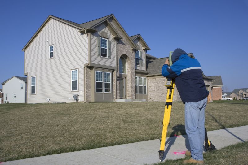
Property line surveying services are often sought by property owners in Raleigh, NC when there is a need to clearly establish the boundaries of a parcel of land. This can be important for resolving boundary disputes, planning new construction, or installing fences and other structures. Accurate boundary identification helps prevent potential conflicts with neighbors and ensures that improvements are within legal property lines.
Homeowners may also look for property line surveying when purchasing new land or making additions to existing properties. Knowing the exact property limits can assist in avoiding encroachments and ensuring compliance with local regulations. Local surveying professionals can provide the precise measurements and documentation needed for these common property management tasks.
What is a property line survey? A property line survey is a detailed measurement of land boundaries, typically performed to establish or confirm property lines for ownership, development, or legal purposes.
Why might property owners need a property line survey? Property owners may require a survey to resolve boundary disputes, prepare for construction, or ensure compliance with local zoning regulations.
How long does a property line survey typically take? The duration of a survey can vary depending on property size and complexity, but it generally ranges from a few hours to a couple of days.
What should I do to prepare for a property line survey? Property owners should ensure access to the property and clear any obstructions near boundary lines to facilitate accurate measurements.
How can I find local professionals for property line surveying? Contacting local land surveyors or surveying service providers can connect property owners with experienced professionals in the area.
Property Boundary Identification - Local surveying professionals can accurately determine property lines to prevent disputes and ensure proper land use.
Boundary Line Adjustment Services - Experts assist with modifying property boundaries to reflect current land use or development needs.
Property Line Dispute Resolution - Skilled surveyors help resolve boundary conflicts through precise measurements and documentation.
Land Parcel Mapping - Professionals create detailed maps of land parcels to support legal and development purposes.
Considering Property Line Surveying for a property in Raleigh, NC? The sections above highlight common project types, practical options, and details that often shape the scope of work.
When you are ready, use the quote form to share a few details about your project. Local pros can review the basics and respond with options that match what you have in mind.