Get Property Line Surveying in Asheville, NC
Property line surveying services help Asheville property owners define boundaries, resolve disputes, and prepare for projects like fencing, additions, or land development.
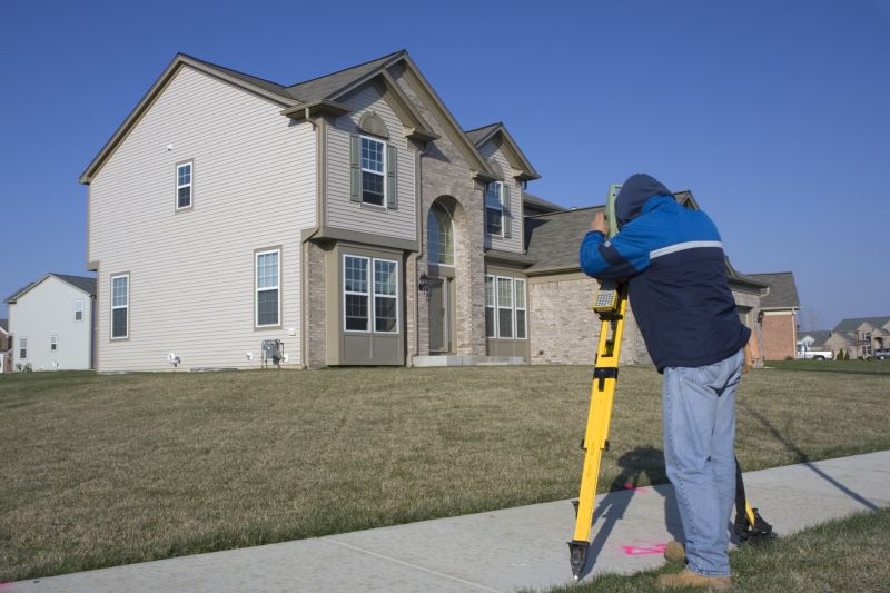
Property line surveying services provide clarity and precision for property owners in Asheville, NC, ensuring boundaries are accurately established and documented. This work is essential for avoiding disputes with neighbors, planning construction projects, or making improvements to a property. Accurate boundary lines help homeowners feel confident in their property’s limits, which contributes to peace of mind and reduces the risk of future conflicts.
Additionally, property line surveys support the long-term durability and functionality of outdoor spaces. By clearly defining boundaries, property owners can optimize the use of their land, enhance curb appeal, and ensure structures such as fences, patios, or gardens are properly positioned. This attention to detail can lead to reduced maintenance needs and help preserve the property's value over time.
- Boundary determination for property owners planning to develop or subdivide land in Asheville, NC and surrounding areas.
- Legal property line verification is often needed during disputes or prior to selling a parcel of land nearby.
- Construction projects that require precise property boundaries to ensure proper placement and setbacks.
- Landowners seeking to confirm existing property lines before installing fences or other boundary features.
- Property line surveys are essential when resolving encroachments or clarifying boundary lines with neighbors.

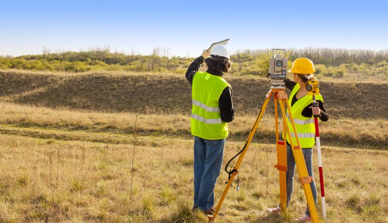
Property line survey services involve the precise measurement and mapping of a property's boundaries. These surveys typically include establishing official boundary lines, identifying existing markers, and creating detailed maps that define property limits. Such services are essential for ensuring clarity in property ownership and for resolving potential boundary disputes. By accurately delineating property lines, surveyors help property owners, developers, and legal professionals avoid conflicts and make informed decisions regarding land use and development.
These services are often utilized to address common problems related to boundary ambiguity. Property owners may encounter issues such as encroachments, disputes with neighbors, or uncertainty about where their property begins and ends. A property line survey provides definitive information that can be used in legal proceedings or property transactions. It also helps prevent future conflicts by clearly documenting boundary locations, which is especially valuable when planning construction, fencing, or other improvements on the land.
Property line surveys are applicable to a wide range of properties. Residential lots, especially those in suburban neighborhoods or rural areas, frequently require boundary verification before building or fencing. Commercial properties, including retail centers and office complexes, often need precise boundary delineations for development or leasing purposes. Additionally, agricultural parcels and large land holdings benefit from boundary surveys to establish clear property limits for management, sale, or subdivision purposes.
Engaging property line surveying services can help property owners and developers avoid costly disputes and legal complications. These services provide accurate boundary data that supports property transactions, land development, and construction projects. By working with local surveyors or land professionals, clients can ensure their property boundaries are correctly identified and documented, reducing uncertainty and facilitating smooth land management and development processes.
The overview below groups typical Property Line Surveying projects into broad ranges so you can see how smaller, mid-sized, and larger jobs often compare in Asheville, NC.
In many markets, a large share of routine jobs stays in the lower and middle ranges, while only a smaller percentage of projects moves into the highest bands when the work is more complex or site conditions are harder than average.
Basic Property Line Survey - The cost typically ranges from $300 to $800 for a standard survey of a residential property, depending on size and complexity. Smaller lots tend to be less expensive, while larger or irregularly shaped parcels may cost more.
Boundary Line Determination - Expect prices between $400 and $1,200 for services focused on establishing property boundaries, with costs influenced by the number of boundary points and terrain. Additional features like fences or structures can increase the price.
Topographic and Boundary Surveys - These comprehensive surveys often cost between $1,000 and $3,000, especially for larger properties or those requiring detailed topographical data. Prices vary based on property size and survey detail level.
Subdivision and Lot Line Adjustment Surveys - The cost generally ranges from $1,500 to $4,000, depending on the scope of the subdivision or adjustment and local property regulations. Larger or more complex projects tend to be higher in price.
Actual totals will depend on details like access to the work area, the scope of the project, and the materials selected, so use these as general starting points rather than exact figures.
Boundary Line Surveys - Professionals can determine property boundaries to prevent disputes and ensure accurate land division. They provide precise measurements to establish legal property lines.
Subdivision Surveys - Local surveyors assist with dividing larger parcels of land into smaller lots, supporting development and property sales with detailed mapping.
Topographic Surveys - Service providers create detailed maps of land elevations and features, essential for planning construction projects and land development.
Construction Layout Surveys - Surveyors mark specific locations for building foundations, roads, and utilities, ensuring structures are positioned correctly according to plans.
Easement and Right-of-Way Surveys - Experts identify and document existing easements and rights-of-way to clarify land use rights and support property transactions.
ALTA/NSPS Land Title Surveys - These comprehensive surveys provide detailed information for title insurance and land development, verifying boundary and improvement locations.
Property line surveying is a specialized service that requires careful evaluation of a provider’s experience and reputation. Homeowners should consider how long a local surveying professional has been serving the community and their familiarity with local property laws and boundary standards. Reputable references or reviews from previous clients can offer insight into the accuracy and reliability of their work. Gathering feedback from neighbors or other property owners who have previously used the services can help establish trust in a provider’s track record.
Clear and written expectations are essential when selecting a property line surveyor. A professional should be able to provide a detailed scope of work, including the methods used, the deliverables, and any necessary follow-up steps. Homeowners are encouraged to ask for a written proposal or estimate that outlines what will be included in the survey. This documentation helps ensure that both parties have a mutual understanding of the project’s scope and reduces potential misunderstandings or surprises.
Effective communication is a key factor in working with local property surveyors. Prospective clients should seek providers who are responsive and willing to answer questions thoroughly. Open dialogue helps clarify project details and timelines, ensuring the homeowner’s concerns are addressed. Since this introduction connects homeowners with local options rather than performing the work directly, it’s important to contact the selected professional to discuss specific needs, verify experience, and confirm their approach to property boundary identification.
Property owners in Asheville, NC use Property Line Surveying services for practical projects around their homes and businesses. The sections below highlight everyday jobs and straightforward project options.

Property line surveying services are often sought by property owners in Asheville, NC when they need to clearly establish the boundaries of their land. Whether planning to build a new structure, install fencing, or simply confirm property limits, accurate boundary identification helps prevent future disputes with neighbors. Local surveying professionals can provide the precise measurements and documentation needed to ensure that property lines are correctly marked and recognized.
Additionally, property owners may request surveying services when buying or selling land, or during legal boundary disputes. Clear property lines are essential for accurate property descriptions and to meet local regulations. Engaging experienced surveyors in Asheville can help property owners confirm boundary locations, resolve ambiguities, and provide the necessary records for property transactions or legal matters.
What is a property line survey? A property line survey is a process that determines the exact boundaries of a property, often involving measurement and mapping of boundary lines.
Why might I need a property line survey? A survey may be necessary for resolving boundary disputes, planning construction, or ensuring compliance with property line regulations.
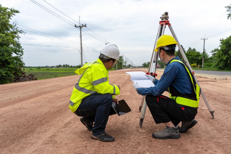
How do local professionals perform property line surveys? They typically use specialized equipment and techniques to measure and map boundary lines, then prepare detailed reports or plats.
What should I expect during a property line survey? The process usually involves visiting the property, marking boundary points, and producing a survey document for your records.
How can I find local property line survey providers? Contacting local land surveyors or property service companies can connect you with qualified professionals in Asheville, NC, and nearby areas.
Boundary Determination Services
- Professionals can accurately identify property boundaries to prevent disputes with neighbors. They use precise measurement techniques to mark the exact property lines.Property Line Surveying for Development
- Local surveyors assist with establishing clear property boundaries for construction, fencing, or land division projects. They provide detailed reports to support planning and development.Legal Boundary Verification
- Surveying experts can verify existing property lines to ensure compliance with local regulations and resolve boundary disagreements.Landowner Consultation Services
- Property owners can consult with surveyors to understand boundary lines and obtain detailed maps for property management or sale purposes.
Considering Property Line Surveying for a property in Asheville, NC? The sections above highlight common project types, practical options, and details that often shape the scope of work.
When you are ready, use the quote form to share a few details about your project. Local pros can review the basics and respond with options that match what you have in mind.