Get Lot Surveying in Long Island, NY
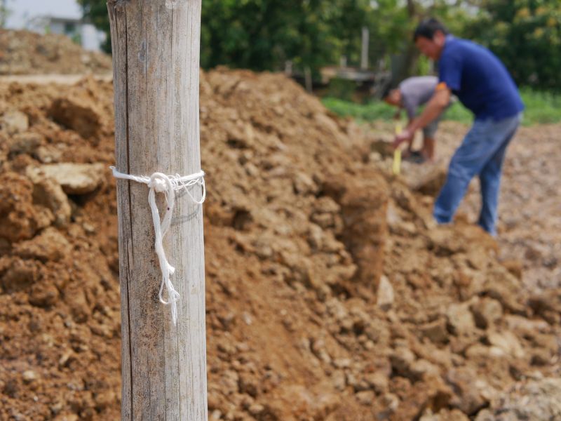
Lot surveying services for Long Island property owners identify boundaries, resolve encroachments, and support projects like land development, subdivision, or boundary adjustments.
Lot surveying services are essential for property owners in Long Island, NY who want to ensure their land is accurately mapped and legally defined. Proper land surveys help identify property boundaries, resolve disputes, and provide clear information for development or improvement projects. By working with experienced surveyors, property owners can gain confidence in the accuracy of their property lines, which is crucial for avoiding future conflicts and ensuring compliance with local regulations.
In addition to boundary clarity, lot surveying offers benefits such as enhancing the safety and functionality of a property. Accurate surveys can assist in planning construction, landscaping, or additions that align with existing structures and property limits. They also contribute to the durability and curb appeal of a property by preventing encroachments and ensuring that improvements are properly positioned, reducing the likelihood of costly adjustments or repairs later on. Engaging professional surveyors helps property owners achieve a well-defined, secure, and visually appealing property.
- Residential Lot Surveys - needed when establishing property boundaries for new home construction or additions in Long Island and nearby areas.
- Commercial Property Surveys - required for commercial developments, zoning compliance, or property line clarification in urban or suburban regions.
- Boundary Line Adjustments - used to modify property lines or resolve boundary disputes between neighboring landowners.
- Topographic Surveys - essential for site planning, grading, and drainage design for development projects in rural or developed areas.
- Subdivision Surveys - necessary when dividing larger parcels into smaller lots for residential or commercial purposes.


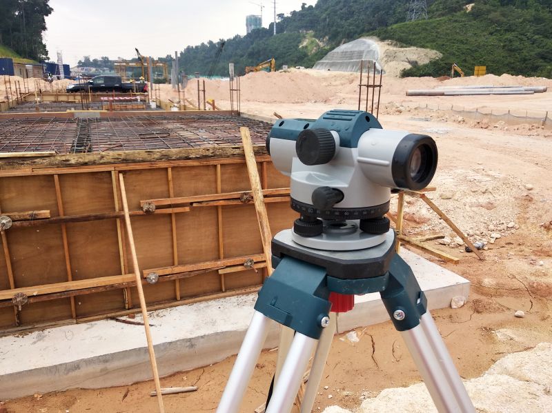
Lot surveying services involve the precise measurement and mapping of land parcels to establish boundaries and property lines. These surveys typically include detailed measurements of the land’s dimensions, topographical features, and existing structures. The information gathered helps create accurate maps and reports that delineate property limits, which are essential for legal documentation, development planning, and property transactions. By utilizing specialized equipment and techniques, surveyors ensure that the data collected is reliable and meets local standards for accuracy.
One of the primary problems lot surveying helps address is boundary disputes. Accurate boundary delineation can resolve conflicts between neighbors or prevent future misunderstandings regarding property lines. Additionally, lot surveys are vital when planning construction projects, such as building new structures, fences, or driveways, ensuring they are positioned correctly within property limits. They also support land development efforts by providing a clear understanding of the terrain and existing features, which can influence design and planning decisions.
The types of properties that typically require lot surveying services include residential parcels, commercial properties, industrial sites, and agricultural lands. Residential properties often need surveys before purchasing, subdividing, or making improvements like fences or additions. Commercial and industrial sites may require detailed surveys for development or zoning compliance. Agricultural landowners might seek surveying services to define field boundaries or prepare for land transactions. Regardless of property type, accurate survey data helps property owners and developers adhere to local regulations and avoid potential legal complications.
Contacting local land surveyors can provide property owners and developers with the detailed information needed for various land-related projects. These professionals use established methods to produce precise measurements and maps that support legal, construction, and planning activities. Whether for boundary resolution, development, or land management, connecting with experienced surveyors ensures that property data is accurate and compliant with local standards.
The overview below groups typical Lot Surveying projects into broad ranges so you can see how smaller, mid-sized, and larger jobs often compare in Long Island, NY.
In many markets, a large share of routine jobs stays in the lower and middle ranges, while only a smaller percentage of projects moves into the highest bands when the work is more complex or site conditions are harder than average.
Survey Cost Range - Lot surveying services typically cost between $500 and $2,500 depending on the size and complexity of the property. For example, a standard residential lot may fall around $1,000 to $1,500. Larger or more detailed surveys can increase costs accordingly.
Factors Affecting Price - The total cost can vary based on property location, terrain, and accessibility. Urban lots might be less expensive, while rural or hard-to-reach areas could push prices toward the higher end of the range.
Additional Fees - Extra charges may apply for services like staking, boundary marking, or topographic mapping. These can add several hundred dollars to the overall cost, depending on the scope of work required.
Typical Service Costs - For basic lot surveys, prices often start around $500 and can go up to $2,000 or more for comprehensive boundary and topographic surveys. Contact local pros for detailed estimates tailored to specific property needs.
Actual totals will depend on details like access to the work area, the scope of the project, and the materials selected, so use these as general starting points rather than exact figures.
Residential Lot Surveys - Local surveyors can provide precise measurements and boundary delineations for residential properties, ensuring clarity for land ownership and development plans.
Commercial Land Surveys - Professionals experienced in commercial surveying assist with boundary identification, site planning, and property development for business projects.
Boundary Line Surveys - Surveyors determine property boundaries to resolve disputes, establish legal property lines, and prepare for construction or sale.
Subdivision Surveys - Local pros can divide larger parcels into smaller lots, facilitating development, sale, or land management activities.
Topographic Surveys - These surveys map natural and man-made features of a property, supporting planning and design for construction projects.
Construction Staking - Surveyors set out reference points and markers on the ground to guide construction, ensuring structures are built according to plans.

When comparing land surveying professionals, it’s important to consider their level of experience in the field. Experienced surveyors have a comprehensive understanding of local property boundaries, zoning regulations, and common site challenges, which can lead to more accurate and reliable results. Homeowners should inquire about the number of years a surveyor has been serving the local area and the types of projects they have completed, ensuring that their expertise aligns with the specific requirements of the property.
Clear and written expectations are essential for a smooth surveying process. Reputable professionals typically provide detailed service descriptions, outlining the scope of work, deliverables, and estimated timelines. Homeowners are encouraged to review these written expectations carefully to ensure transparency and to avoid misunderstandings. Having a well-defined scope also helps in assessing whether the surveyor’s offerings match the project’s needs and allows for better planning.
Reputation and communication are key factors when selecting a land surveying professional. Reliable surveyors often have references or testimonials from previous clients that attest to their accuracy and professionalism. Good communication involves prompt responses to inquiries, clarity in explaining findings, and openness to addressing questions. Homeowners should seek surveyors who demonstrate professionalism and a commitment to keeping clients informed throughout the project, fostering confidence in the quality of the service provided.
Property owners in Long Island, NY use Lot Surveying services for practical projects around their homes and businesses. The sections below highlight everyday jobs and straightforward project options.
Lot survey services are commonly sought after by property owners in Long Island, NY, who need precise measurements for various projects. Whether planning a new construction, dividing land, or installing fences, accurate land surveys help ensure that boundaries are clear and legal requirements are met. These services are also useful for resolving property line disputes or confirming existing property lines before making improvements or additions to a property.
Homeowners and developers often turn to local surveyors to obtain detailed plats and boundary descriptions for their properties. Having an accurate survey can prevent future conflicts, facilitate smooth permitting processes, and provide peace of mind when making changes to land or structures. Consulting experienced surveyors ensures that property details are correctly documented, supporting a wide range of residential and commercial property projects.
What is a land survey? A land survey is a detailed measurement of property boundaries and features, often used for development, sale, or legal purposes.
Why might I need a lot survey? A lot survey helps determine exact property lines, identify easements, and ensure compliance with local regulations before construction or sale.
How long does a land survey typically take? The duration depends on the property's size and complexity, but local surveyors can provide an estimated timeframe upon contact.
What information do I need to provide for a survey? Providing property deeds, existing site plans, and access to the property can help facilitate the survey process.
How do I find a qualified land surveyor in my area? Contacting local surveying service providers or contractors can connect you with experienced land surveyors near Long Island, NY and surrounding areas.
Boundary and Property Line Surveys - Local surveyors can determine precise property boundaries to prevent disputes and ensure accurate land division.
Topographic Land Surveys - Professionals can create detailed maps of land elevations and features to assist in planning development projects.
Subdivision and Lot Division Services - Experts can facilitate the division of larger parcels into smaller lots, supporting new construction or sale preparations.
Construction Staking and Site Layout - Surveyors can mark out building locations and site features to guide construction and ensure adherence to plans.
Considering Lot Surveying for a property in Long Island, NY? The sections above highlight common project types, practical options, and details that often shape the scope of work.
When you are ready, use the quote form to share a few details about your project. Local pros can review the basics and respond with options that match what you have in mind.